Topcon Positioning Systems
MAGNET Office Field to Office Access
MAGNET Office Field to Office Access
Couldn't load pickup availability
Product Description
Product Description
Stay in charge of your project data set. This office-software companion to our
field-productivity solutions handles the data import-and-export needs and
provides project insights for better site management and improved profitability.
You can optimize digital-infrastructure workflows, including machine-control
models, material takeoffs, final survey deliverables, point-layout files and paving
resurfacing design.
These capabilities make MAGNET® Office particularly well-suited for earthmoving, paving and surveying applications.
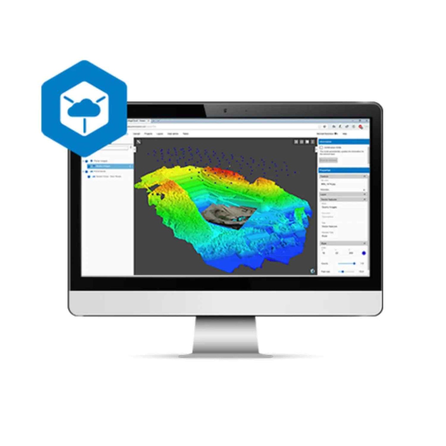
MAGNET® Office software enables you to efficiently combine plans and survey
data to build machine-and-instrument-ready constructible 3D digital-terrain
models for sitework, corridors, roads, paving and trenching. MAGNET® digitalterrain models can be directly transferred to machines, field personnel or
project stakeholders for a better-connected project team. Triangulated digitalterrain models provide a data-efficient physical project representation making
it possible to create topographical maps, extract cut-and-fill volumes, and
provide progress reports for a bill of quantities, planning and scheduling.
Even if you are just starting your digitization journey, you can quickly
work with improved machine control files, convert estimation methods
from paper to 2D or 3D models or efficiently create survey deliverables.
Digitize your everyday tasks, including setting up points for layout,
converting PDFs to CAD files and calculating takeoff volumes.
Technical Specifications
Technical Specifications
Share


